


 Deepak Raj Bhatta
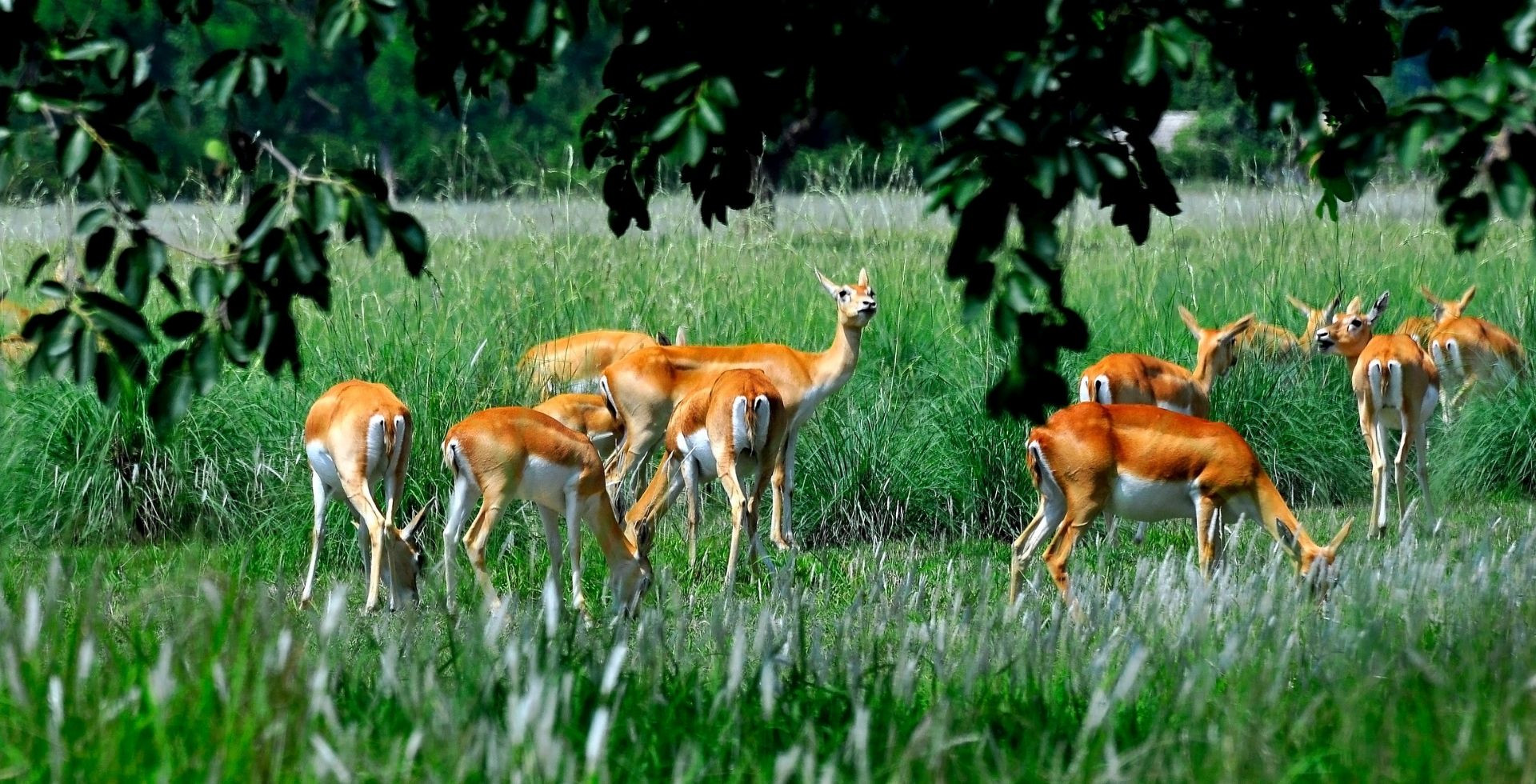
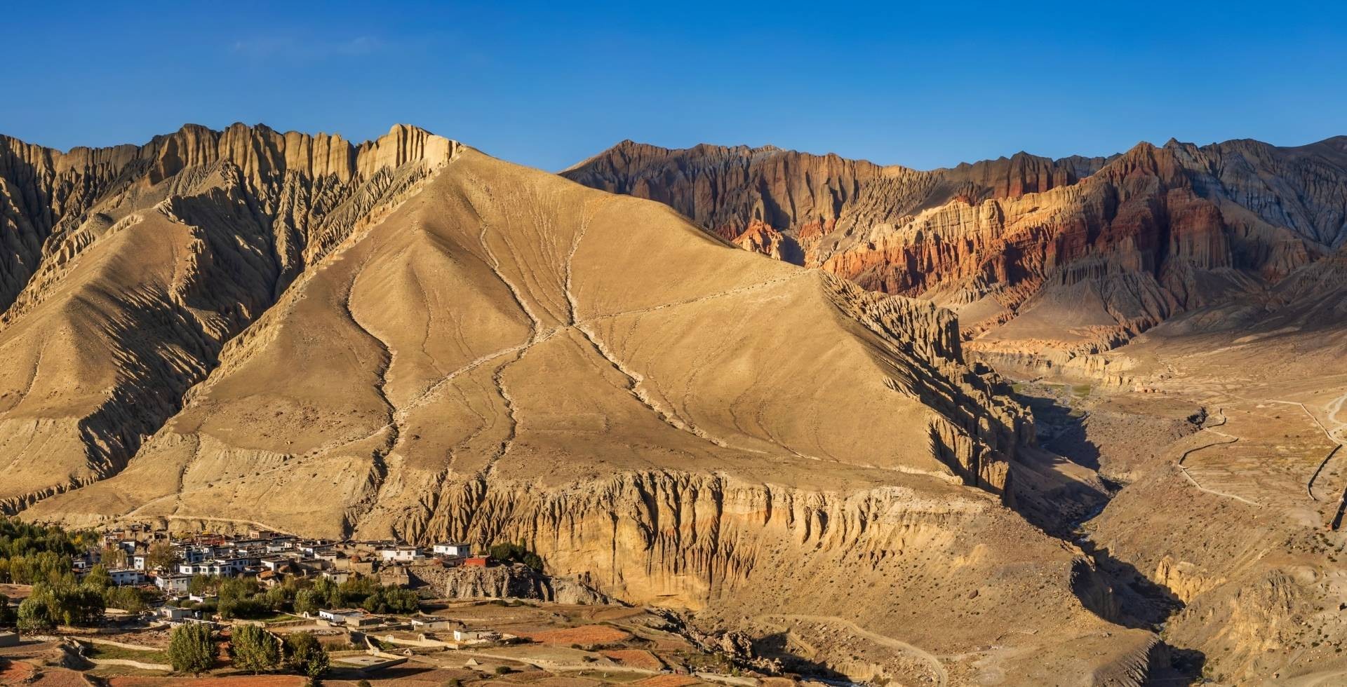
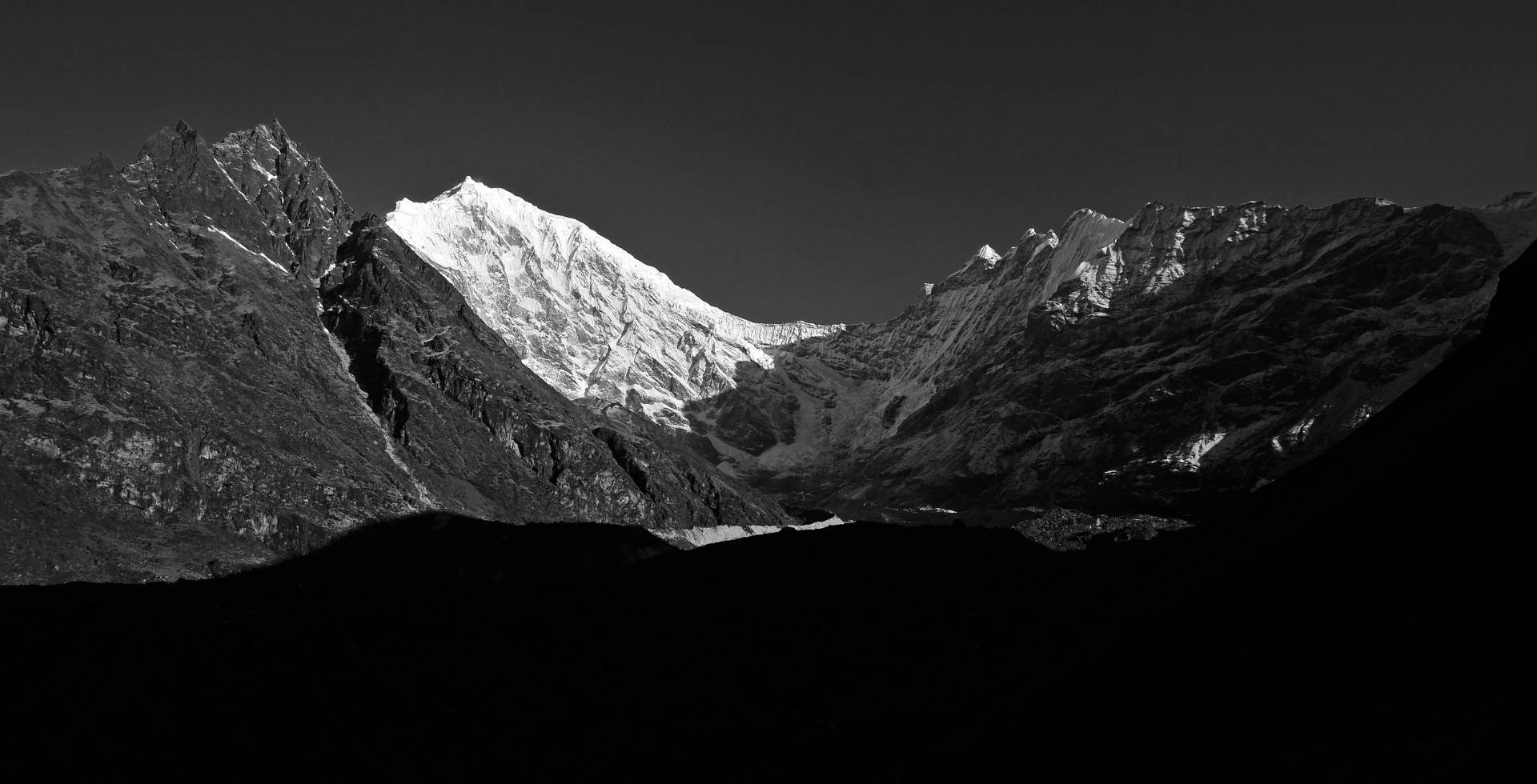
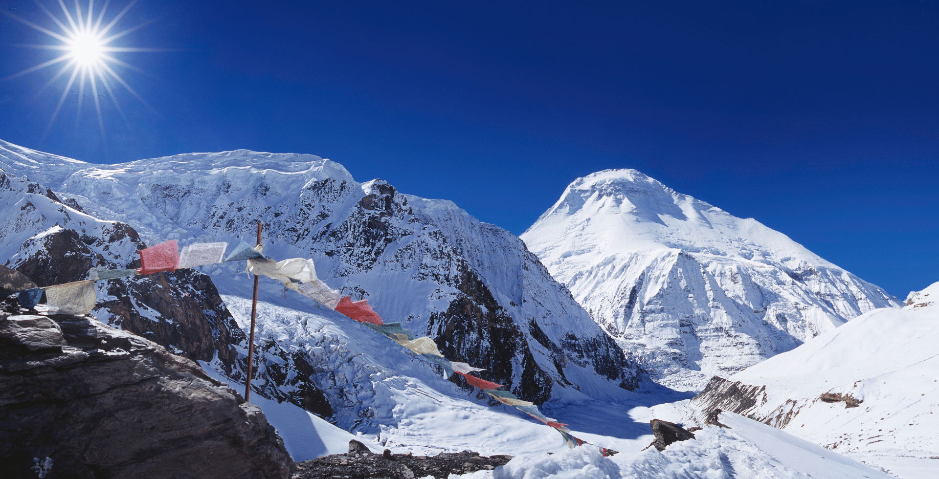
Mountains are the earth’s most beautiful and towering monuments. They stand firm and hold a wide range of natural resources around the globe. They are considered adventurous and make the place for a spiritual quest or an adventure-filled voyage. Mountains are where the most astonishing adventure records were made and they make the place where adventure awaits. There are stunning trekking trails, mountain vantage points and numerous other attractions for explorers. Some of the world’s rare fauna including snow leopards are found in these highlands. And earth’s highest points are also these mountains.
There are numerous peaks with a significant height. But only 14 peaks are the tallest mountains above 8000m in the world. Some of these mountains lie in the Himalayas and some lie in other mountain ranges around the world. The mountaineers plan to summit all these 14 mountains above 8000m to quench their thirst for braving the records and win within.
Mount Everest is the tallest mountain on Earth at 8,848.86. meters. But how does it compare to taller mountains around the world? Read on to find out more about the highest peaks above 8,000m.
But first, what actually is a mountain range?
Mountain ranges are usually defined by the tallest peaks of the region and are usually found in a particular geographic area. They can be as small as just two or three peaks or stretch for hundreds of miles. For example, the Rocky Mountains take up most of western North America. The Alps cover most of Europe. And the Himalayas hold the most towering peak on the planet.
Mountain ranges refer to the highest points on Earth's surface. These peaks are so high that they rise above the surrounding terrain, forming a natural barrier between the lowlands and nearby plains. The Himalayas are the world's one of the highest mountain ranges, stretching for about 2400 kilometres.
Tallest Mountains above 8000m in the World
The World’s highest mountains are found in several mountain ranges including the Himalayan and Karakoram ranges. The eight-thousanders have been an excellent source of adventure for the mountaineers and made some of the world’s astonishing records in the geography and adventure arena. Mount Everest is the tallest mountain on earth with an elevation of 8,848.86 meters above sea level. While the elevation trophy of the second and third highest mountains above 8000m belong to K2 (8,611m) and Kangchenjunga (8,586m), Shisha Pangma (8,027m) is the lowest eight-thousander.

List of Eight Thousanders in the world
|
Rank |
Mountain |
Location |
Height |
|
|
Meters |
Feet |
|||
|
1st |
Everest |
Nepal/Tibet |
8,848.86 m |
29,031.7 ft |
|
2nd |
K2 (Godwin Austen) |
Pakistan/China |
8,611 m |
28,251 ft |
|
3rd |
Kangchenjunga |
Nepal/India |
8,586 m |
28,169 ft |
|
4th |
Lhotse |
Nepal/Tibet |
8,516 m |
27,940 ft |
|
5th |
Makalu |
Nepal/Tibet |
8,481 m |
27,825 ft |
|
6th |
Cho Oyu |
Nepal/Tibet |
8,188 m |
26,864 ft |
|
7th |
Dhaulagiri |
Nepal |
8,167 m |
26,795 ft |
|
8th |
Manaslu |
Nepal |
8,163 m |
26,781 ft |
|
9th |
Nanga Parbat |
Pakistan |
8,126 m |
26,660 ft |
|
10th |
Annapurna I |
Nepal |
8,091 m |
26,545 ft |
|
11th |
Gasherbrum I |
Pakistan/China |
8,080 m |
26,510 ft |
|
12th |
Broad Peak |
Pakistan/China |
8,051 m |
26,414 ft |
|
13th |
Gasherbrum II |
Pakistan/China |
8,035 m |
26,362 ft |
|
14th |
Shisha Pangma |
Tibet |
8,027 m |
26,335 ft |
Mount Everest
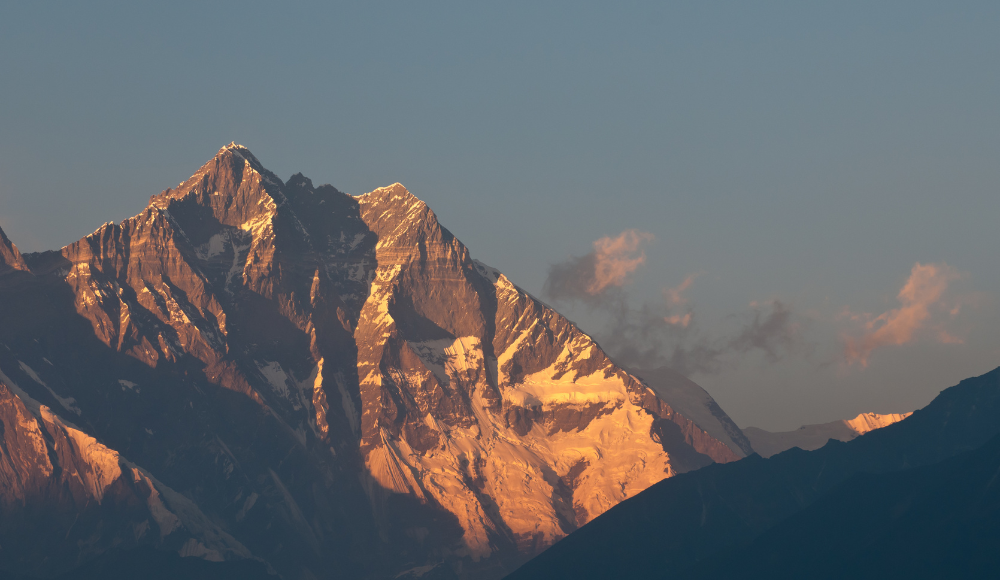
Mount Everest stands as the tallest mountain on Earth. It is located in the Mahalangur mountain range on the border between Nepal and China's Tibet Autonomous Region. The tallest peak is 8,848.86 meters (29,031 feet) above mean sea level. The updated height of Mount Everest was announced jointly after examining it by both Nepal and China in 2020. To get to the top of Mount Everest takes Sherpa teams many days' work and up to three months on route conditions that can be extremely hazardous in places with snow or avalanches. There is a name for the display of hazards in Everest known as Rainbow Valley which is created because of the fatalities over the years in the Everest expeditions. The summit is the ultimate goal for most climbers, although attempts have been made to get to the top of Mount Everest without using supplemental oxygen.
The first successful ascent of Mount Everest was by Sir Edmund Hillary of New Zealand and Tenzing Norgay from Nepal on the 29th of May 1953 by way of the Southeast Ridge Route. They were part of a British expedition led by John Hunt. Thousands of people from all over the world have attempted to climb Mount Everest since that first ascent.
In the Nepali language, the mountain is called ‘Sagarmatha’. The Tibetan name for Mount Everest is ‘Qomolangma’ which means “Goddess Mother of the World”. It is known by a few other names such as ‘Peak 15’, ‘Deudhunga’, and ‘Chomolungma’.
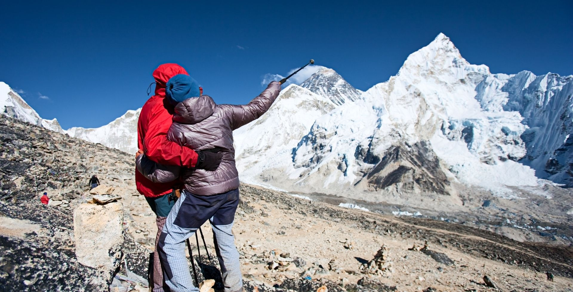
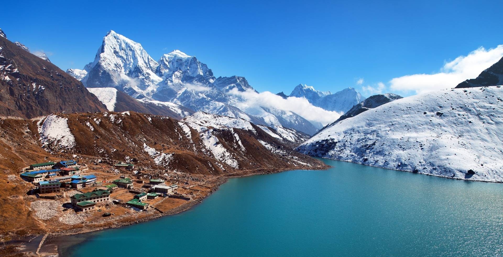
To witness the grandeur of Mount Everest is a dream of many people around the world. Even a glimpse of Everest from a far vantage point is an incredible experience. Some people take Everest Mountain Flight from Kathmandu, while some trek to the Everest Base Camp and some extend it to EBC and Gokyo Valley Trek. Some of the major attractions of the Everest region are Namche Bazaar, Lukla, Tengboche, Kala Patthar and Everest Base Camp.
Mount Everest Facts
|
Mountain |
Mt. Everest |
|
Parent Range |
The Himalayas |
|
Sub Range |
Mahalangur Himalayan Range |
|
Native Name |
Sagarmatha, Chomolungma, |
|
Elevation |
8,848.86 m (29,031.7 ft) |
|
Prominence |
8,848.86 m |
|
Mountain Rank |
First |
|
Location |
South Side: Solukhumbu District, Province No. 1, Nepal North Side: Tingri County, Xigazê, Tibet Autonomous Region, China |
|
Easiest Route |
Southeast ridge (Nepal) |
|
First Ascent |
29 May 1953 |
|
First Ascenders |
Edmund Hillary and Tenzing Norgay |
|
Popular Activities |
Trekking, Mountaineering |
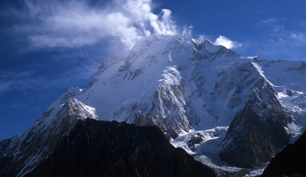
K2 (Godwin Austen)
K2, also known as Godwin Austen, and in Chinese Qogir Feng, is the second highest mountain in the world. It is located on the border of Pakistan and China in the Karakoram mountain range. The mountain was first climbed by Italian climbers Lino Lacedelli and Achille Compagnoni, on the 1954 expedition led by Ardito Desio. Mount K2 is considered one of the technical mountains to climb due to its glacial and difficult terrains alongside extremely unpredictable weather conditions.
Mount K2 is one of the most adventurous eight-thousanders with an estimated climb of up to two months and is known for the most dangerous ascents in history. K2 lies in Gilgit–Baltistan, Pakistan, near Jammu and Kashmir.
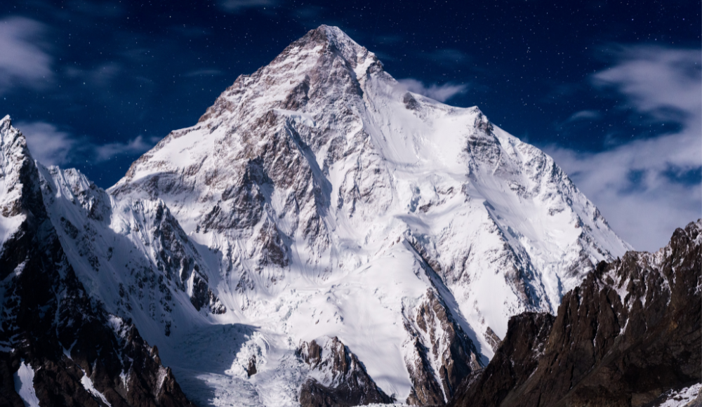
Mount K2 is known as a difficult trekking expedition, and there are few records of successful climbs to the peak. It has claimed more lives than any other climb on Earth. Its treacherous peaks have earned it nicknames such as "Savage Mountain" or "Killer Mountain." There are two main reasons for this danger: weather and altitude. Mount K2's high altitude and freezing weather (with temperatures often reaching ) lead to difficult ascents and dangerous avalanches.
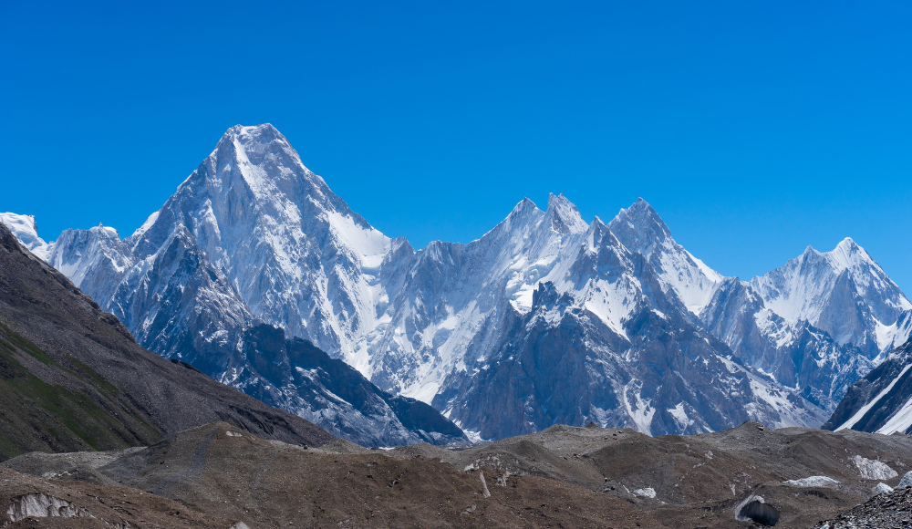
The mountain is a part of the Karakoram-Hindu-Kush region, a subrange of the Greater Himalayan range. It rises above the Baltoro Glacier and is one of several mountains that dominates the routes between Pakistan, China and India in the Karakoram range.
Mount K2 Facts
|
Mountain |
Mt. K2 |
|
Parent Range |
Karakoram |
|
Native Name |
Chogori, Qogir Feng, Dapsang, Mount Godwin Austen |
|
Elevation |
8,611 m (28,251 ft) |
|
Prominence |
4,020 m |
|
Mountain Rank |
Second |
|
Location |
Pakistan-administered Kashmir and China-administered Kashmir |
|
Easiest Route |
Abruzzi Spur |
|
First Ascent |
31 July 1954 |
|
First Ascenders |
Achille Compagnoni & Lino Lacedelli |
|
Popular Activities |
Trekking, Mountaineering |
Mount Kangchenjunga
Mount Kangchenjunga is the third-highest mountain in the world and the second-highest in Nepal. Located on the border between India and Nepal, it is one of only fourteen mountains over 8,000 meters high, with a height of 8,586 meters. Kangchenjunga means “The Five Treasures of Snows” in Tibetan. Kangchenjunga is on the border between Nepal and Sikkim, India.
This mountain is an isolated mountain with steep cliffs, whose ascent has been described as one of the most dangerous mountaineering challenges in the world. It is usually summited via the southwest ridge, which requires a huge amount of technical skill as well as enormous physical fitness and experience.
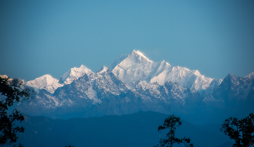
Kangchenjunga is not just the third-highest mountain in the world but also the most dangerous one to climb. It is considered as one of the deadliest mountains to attempt climbing due to its extremely demanding logistics and unpredictable mountain nature. The mountain was first climbed in 1955 by a British team led by Charles Evans. The first summitters of this mountain were Joe Brown and George Band.
In the initial days of mountain exploration, Kangchenjunga was considered the highest peak in the world. It was before the discovery of Peak XV. Later, the survey team recognised this mountain as the third highest peak as K2 is then the second highest.
The Kangchenjunga mountain is sacred to the people of Sikkim. They worship mountains, so the expedition teams are not allowed to climb the summit. However, they can approach the summit and it is believed that the summit shouldn’t be stepped on.
Mount Kangchenjunga Facts
|
Mountain |
Mt. Kangchenjunga |
|
Parent Range |
The Himalayas |
|
Native Name |
Khangchendzonga, Kanchenjunga, Kumbhkaran Lungur |
|
Elevation |
8,586 m (28,169 ft) |
|
Prominence |
3,922 m |
|
Mountain Rank |
Third |
|
Location |
Taplejung District, Nepal and Sikkim, India |
|
Easiest Route |
glacier/snow/ice climb |
|
First Ascent |
25 May 1955 |
|
First Ascenders |
Joe Brown and George Band |
|
Popular Activities |
Trekking, Mountaineering |
Lhotse
Fourth highest mountain - Lhotse is one of its kind and known for its massive horseshoe-shaped arc within the Khumbu Region of Nepal near Mount Everest. At 8,516 meters (27,940 ft) above sea level, it is considered one of the most technically challenging and dangerous mountains in the world to climb. The first climb at its summit was made by Fritz Luchsinger and Ernest Reiss in 1956. They were Swiss nationals.
The three main peaks of Lhotse, Lhotse Main (8551m), Lhotse Shar (8,383m), and Lhotse middle/east, are all higher than 8000m (8,413m). The Lhotse Couloir, an icy ravine, marks the West Face of Lhotse. Because the climbing conditions of the crevasse are influenced by weather and seasonal snowfall, it is the key test for the Lhotse ascent. Since Lhotse is known as "South Peak" in Tibet, people sometimes confuse it with Mount Everest's south peak. Lhotse remains an incredible peak due to its proximity to Everest and many Everest climbers summit this mountain peak before pursuing their adventure to the glorious Sagarmatha.
Mount Lhotse Facts
|
Mountain |
Mt. Lhotse |
|
Parent Range |
The Himalayas |
|
Sub Range |
Mahalangur Himalayan Range |
|
Native Name |
South Peak, E1 |
|
Elevation |
8,516 m (27,940 ft) |
|
Prominence |
610 m |
|
Mountain Rank |
Fourth |
|
Location |
Tibet, China and Khumbu, Nepal |
|
Easiest Route |
glacier/snow/ice climb |
|
First Ascent |
May 18, 1956 |
|
First Ascenders |
Fritz Luchsinger, Ernst Reiss |
|
Popular Activities |
Trekking, Mountaineering |
Mount Makalu
Mount Makalu is a mountain in the Himalaya that sits about nineteen kilometers southeast of Mount Everest. It was first climbed on May 15, 1955 by Lionel Terray and Jean Couzy. Mount Makalu is a difficult climb because it consists mainly of steep snow couloirs and narrow rock ridges that require technical skills to navigate. There are two prominent sub-peaks to Makalu. Approximately three kilometers to the north-northwest of the main summit is Makalu II (7,678 m). Chomo Lonzo rises roughly five kilometers north-northeast of the main summit across a wide plateau and is connected to Kangchungtse by a small, 7,200-meter saddle (7,804 m).
It currently ranks as the world's fifth tallest mountain and is an excellent, if not quite popular, trekking destination. It has been popular as a mountaineering and trekking destination and many visitors travel to reach its base from around the world.
Though the successful attempt of the main peak was achieved by French nationals in 1955, the early attempts to climb this mountain were made in 1954. An American group under the direction of William Siri made the initial attempt on Makalu in the spring of 1954. At 7,100 meters, a relentless assault of storms forced them to retreat after attempting the southeast ridge. A French reconnaissance mission first reached the secondary summit in the fall of 1954. Later the french team established a standard route through the saddle between Makalu and Kangchungtse. The north face and northeast ridge of the peak is considered one of the possible ways to brave the summit of Mount Makalungma.
Makalu Facts
|
Mountain |
Mt. Makalu |
|
Parent Range |
The Himalayas |
|
Sub Range |
Mahalangur Himalayan Range |
|
Native Name |
Makalungma, Makaru |
|
Elevation |
8,481 m (27,825 ft) |
|
Prominence |
2,386 m |
|
Mountain Rank |
Fifth |
|
Location |
Tibet, China and Khumbu, Nepal |
|
Easiest Route |
snow/ice climb |
|
First Ascent |
May 15, 1955 |
|
First Ascenders |
Lionel Terray and Jean Couzy |
|
Popular Activities |
Trekking, Mountaineering |
Mount Cho Oyu
Cho Oyu, also called Turquoise goddess or Mighty Head, is an 8,188 m (26,864 ft) high mountain in the Himalayas located at the border between Tibet and Nepal. The peak has been attempted by many mountaineers including Hillary, Tom Bourdillon and George Lowe. The first attempt at this peak was made before braving Mount Everest by a British team led by Eric Shipton but they were forced to retreat due to technical difficulties from an elevation of 6,650 m. The first ascent was made by the Austrian expedition team in 1954 during which they established a new route via the northwest ridge up to the summit.
Mount Cho Oyu is the sixth eighth thousander and one of the tallest mountains above 8000m in the world. Due to its comparatively easy terrain, Cho Oyu is considered the easiest eight thousander to climb. It also has the lowest death ratio in the mountaineering arena and it is also many mountaineers' favourite choice.
Cho Oyu Facts
|
Mountain |
Mt. Cho Oyu |
|
Parent Range |
The Himalayas |
|
Sub Range |
Mahalangur Himalayan Range |
|
Native Name |
Translation: Turquoise goddess, Mighty Head |
|
Elevation |
8,188 m (26,864 ft) |
|
Prominence |
2,340 m |
|
Mountain Rank |
Sixth |
|
Location |
Tibet and Nepal |
|
Easiest Route |
snow/ice/glacier climb |
|
First Ascent |
October 19, 1954 |
|
First Ascenders |
Herbert Tichy, Joseph Jöchler, Pasang Dawa Lama |
|
Popular Activities |
Trekking, Mountaineering |
Mount Dhaulagiri
The peak is known in Nepal by the name Dhaulagiri, which is derived from the Sanskrit words dhawala, which mean brilliant, white, and lovely, and giri, which means mountain. Mount Dhaulagiri towers at 8,167 meters (26,795 ft). This is not just the seventh highest mountain in the world—it’s also the most beautiful. The slopes of Mount Dhaulagiri are covered with snow year-round, and its glacial cover is a dazzling blue tone that contrasts with its lush green slopes. From afar, it presents an impressively perfect cone shape and provides an imposing picture of grandeur.
Mount Dhaulagiri is a popular trekking and mountaineering destination. Its lofty altitude and stunning surrounding nature make it a popular base camp for the expeditioners, an experience that can be encapsulated in just one word: awe. On May 13, 1960, a Swiss-Austrian-Nepali team made the mountain's first ascent of this incredible mountain. A team of Kurt Diemberger, A. Schelbert, E. Forrer, Nawang Dorje, Nyima Dorje made the ascent to the summit.
Dhaulagiri Facts
|
Mountain |
Mt. Dhaulagiri |
|
Parent Range |
The Himalayas |
|
Sub Range |
Dhaulagiri Himal |
|
Native Name |
Dhawalagiri |
|
Elevation |
8,167 meters (26,795 ft) |
|
Prominence |
3,357 m |
|
Mountain Rank |
Seventh |
|
Location |
Nepal |
|
Easiest Route |
Northeast ridge |
|
First Ascent |
13 May 1960 |
|
First Ascenders |
Kurt Diemberger, A. Schelbert, E. Forrer, Nawang Dorje, Nyima Dorje |
|
Popular Activities |
Trekking, Mountaineering |
Mount Manaslu
In the Himalayan mountain range, the world's eighth-highest mountain is found. It is situated at an elevation of 8,163 m (26,781 ft) and is known for the majestic panorama and snowclad beauty in the region. It is called Mount Manaslu, and it is a stunning sight to behold. The Sanskrit term Manasa, which means "intellect" or "soul," is the root of the name Manaslu, which translates to "mountain of the spirit" in English. Located in Nepal, the mountain has been cloaked in mystery for centuries. But now that its top has been scaled and its mysteries unraveled, Mount Manaslu is one of the world's most recognizable mountains and an incredible eight thousanders.
The first ascent of Manaslu was made on May 9, 1956, by a Japanese expedition led by Aritsune Maki members Toshio Imanishi and Gyalzen Norbu. However, before that there were four expeditions to check the possibility of climbing this mountain. The south face of the mountain is considered the hardest in climbing history, and there are currently more than six documented routes there.
The mountain is very unpredictable in nature. The climbing of this peak is considered a disregard to the gods and there have been many fatalities in the past including several avalanches and high death rates. The trekking activities in the Manaslu valley are popular and several Himalayan skis are also tested in this area.
Mount Manaslu Facts
|
Mountain |
Mt. Manaslu |
|
Parent Range |
The Himalayas |
|
Sub Range |
Mansiri Himal |
|
Native Name |
Translation: Mountain of the spirit |
|
Elevation |
8,163 m (26,781 ft) |
|
Prominence |
3,092 m |
|
Mountain Rank |
Eighth |
|
Location |
Nepal |
|
Easiest Route |
snow/ice climb on NE face |
|
First Ascent |
May 9, 1956 |
|
First Ascenders |
Toshio Imanishi and Gyaltsen Norbu |
|
Popular Activities |
Trekking, Mountaineering |
Nanga Parbat
Nanga Parbat is the ninth-highest mountain in the world at 8,126 meters above sea level. Nanga Parbat means "naked mountain" in Urdu. In the territory of Gilgit-Baltistan in Kashmir ruled by Pakistan, Nanga Parvat is located southeast of the Indus River's northernmost bend. The Himalayas' westernmost significant peak, Nanga Parbat, serves as the western anchor of the entire mountain range in the conventional conception of the Himalayas as bordered by the Indus and Yarlung Tsangpo/Brahmaputra rivers.
The Rupal Face, which rises 4,600 m (15,090 ft) above its base, is located on Nanga Parbat, which is frequently touted to have the highest mountain face in the world. To the north, the complicated Rakhiot Flank rises 7,000 m (23,000 ft) from the Indus River valley to the summit in approximately 25 km, one of the ten biggest elevation gains in such a short distance. The crucial col that links Nanga Parbat to higher peaks in the remaining Himalaya-Karakoram range is Zoji La in Kashmir Valley.
The first ascent to this mountain was made by Austrian Climber Hermann Buhl on 3rd July 1953 on the German–Austrian Nanga Parbat expedition. The expedition was completed by Buhl via the Rakhiot Flank (East Ridge) alone after his companions returned back half way. He is the first person to have climbed eight thousander alone.
Nanga Parbat Facts
|
Mountain |
Nanga Parbat |
|
Parent Range |
The Himalayas |
|
Native Name |
Diamer |
|
Elevation |
8,126 m (26,660 ft) |
|
Prominence |
4,608 m |
|
Mountain Rank |
Ninth |
|
Location |
Gilgit–Baltistan, Pakistan |
|
Easiest Route |
Western Diamer District |
|
First Ascent |
3 July 1953 |
|
First Ascenders |
Hermann Buhl |
|
Popular Activities |
Trekking, Mountaineering |
Annapurna I
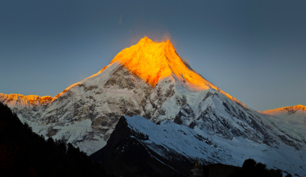
Mount Annapurna is an 8,091 meter high mountain in the Himalayas of north-central Nepal. It is the 10th highest mountain in the world. The Hindu goddess of sustenance and nourishment Annapurna, who is thought to live there, inspired the mountain's name. Mount Annapurna is also considered one of the deadliest mountains to climb due to its unpredictable nature and technical difficulties.
It was first climbed on 3rd June, 1950 by a French expedition led by Maurice Herzog, who was one of its members. The mountain lies in the Annapurna Himalayan Range in the Himalayas and is one of the most diverse places for trekking activities. The Annapurna region is known for the cultural and natural diversity and boasts numerous trekking routes around.
There are numerous peaks exceeding 7,000 meters in the Annapurna massif. The Marshyangdi River borders the massif on the north and east, the Pokhara Valley on the south, and the Kali Gandaki Gorge on the west. The massif encloses a tall basin known as the Annapurna Sanctuary at its western edge.
Also Read: A Complete Guide to Annapurna Base Camp Trek
Annapurna I Facts
|
Mountain |
Mt. Annapurna |
|
Parent Range |
The Himalayas |
|
Sub Range |
Annapurna Himalayan Range |
|
Native Name |
Translation: everlasting food |
|
Elevation |
8,091 m (26,545 ft) |
|
Prominence |
2,984 m |
|
Mountain Rank |
Tenth |
|
Location |
Nepal |
|
Easiest Route |
Northwest face |
|
First Ascent |
3 June 1950 |
|
First Ascenders |
Maurice Herzog and Louis Lachenal |
|
Popular Activities |
Trekking, Mountaineering |
Gasherbrum I
Gasherbrum I is the eleventh highest mountain in the world with an elevation of 8080 meters above sea level. This mountain was first discovered during the Great Trigonometric Survey by T.G. Montgomerie. It was then named K5, meaning 5th peak of the Karakoram and later named Gasherbrum. A team of eight Americans led by Nicholas B. Clinch, including Pete Schoening and Andy Kauffman, as well as Richard K. Irvin, Tom Nevison, Tom McCormack, Bob Swift, and Gil Roberts, made the first ascent of Gasherbrum I on July 5, 1958.
Despite being an eight thousander, Gasherbrum I is not as popular as other peaks among mountaineers. Additionally, it is one of the peaks with the fewest fatalities, however this is likely due to the fact that only very experienced mountaineers attempt a peak as challenging as Gasherbrum I. Climbing the peak from the western side is the most popular strategy, and all routes here lead to "The Japanese Couloir," which is at the summit of the north-west face. Spur Peak and the lengthy south-east ridge were used in the first ascent (1958), which led to the summit.
Gasherbrum I Facts
|
Mountain |
Mt. Gasherbrum I |
|
Parent Range |
Karakoram |
|
Native Name |
K5, Hidden Peak |
|
Elevation |
8,080 meters (26,510 ft) |
|
Prominence |
2,155 m |
|
Mountain Rank |
Eleventh |
|
Location |
Gilgit–Baltistan, Pakistan. |
|
Easiest Route |
snow/ice climb |
|
First Ascent |
July 5, 1958 |
|
First Ascenders |
Nicholas Clinch and Team |
|
Popular Activities |
Trekking, Mountaineering |
Broad Peak
Broad Peak (8,027 meters) is the twelfth-highest summit in the Karakoram mountain range. It is located in the Gilgit-Baltistan region of Pakistan and on a ridge that forms the border between Pakistan and China. The Broad Peak comprises a set of five mountains, namely Broad Peak (8051 m), Rocky Summit (8028 m), Broad Peak Central (8011 m), Broad Peak North (7490 m), and Kharut Kangri (6942 m).
On June 8 and 9, 1957, members of an Austrian expedition led by Marcus Schmuck - Fritz Wintersteller, Kurt Diemberger, and Hermann Buhl—made the first climb of Broad Peak. Fritz Wintersteller and Kurt Diemberger reached the forefront on the team's first attempt on May 29. (8,030 m). This was done without the help of base camp support, high altitude porters, or additional oxygen. So, the summit climb is considered remarkable in the Karakoram mountain range. Broad Peak is also an incredible mountain to climb, however, there is no true summit. The mountaineers climb the forepeak and consider it a summit. The nature of the mountain is flat on the top, that’s why the true point of the peak is not identified and there is not enough technical support to validate the true point on each expedition.
Broad Peak Facts
|
Mountain |
Mt Broad Peak |
|
Parent Range |
Karakoram |
|
Native Name |
Falchan Kangri |
|
Elevation |
8,051 meters (26,414 ft) |
|
Prominence |
1,701 m |
|
Mountain Rank |
Twelveth |
|
Location |
Pakistan and China |
|
First Ascent |
June 9, 1957 |
|
Easiest Route |
snow/ice climb |
|
First Ascenders |
Fritz Wintersteller, Marcus Schmuck, Kurt Diemberger, and Hermann Buhl |
|
Popular Activities |
Trekking, Mountaineering |
Gasherbrum II
The 13th tallest mountain in the world, Gasherbrum II is a member of the larger Gasherbrum group of five summits, two of which rise above 8000 meters. The Gasherbrum II is situated at an elevation of 8,035 meters (26,362 ft) above sea level and is one of the most difficult mountains to climb. On July 7, 1956, an Austrian expedition led by Fritz Moravec, Josef Larch, and Hans Willenpart made the mountain's first ascent.
The mountain was first discovered by Thomas George Montgomerie in 1856 during the Great Trigonometric Survey. The mountain was named K4, as in the fourth mountain in the Karakoram Range. The Balti words rgasha ("beautiful") and brum are the source of the name "Gasherbrum". This mountain is also considered the safest and easiest mountain to climb in the Karakoram range. The route offers simple climbing in a beautiful and spectacular location.
Gasherbrum II Facts
|
Mountain |
Mt. Gasherbrum II |
|
Parent Range |
Karakoram |
|
Native Name |
K4 |
|
Elevation |
8,035 m (26,362 ft) |
|
Prominence |
1,524 m |
|
Mountain Rank |
Thirteenth |
|
Location |
Baltistan, Gilgit–Baltistan, Pakistan Tashkurgan, Xinjiang, China, China–Pakistan border |
|
Easiest Route |
Snow/ice climb |
|
First Ascent |
July 7, 1956 |
|
First Ascenders |
Fritz Moravec, Josef Larch and Hans Willenpart |
|
Popular Activities |
Trekking, Mountaineering |
Shisha Pangma
Mount Shishapangma is regarded as the fourteenth-highest mountain in the world, standing at 8,013 meters. At a distance of 5 kilometers from the Nepali border, the Shishapangma is situated in south-central Tibet. Shishapangma has less dramatic vertical relief than most significant Himalayan peaks since it is farther away from Nepal's lower terrain and located on the dry north side of the Himalayan crest. This is only eight thousander that lie completely in Tibet and do not share a border. It is lastly braved mountain due to Chinese restrictions in the 1960s. The summit was climbed in 1964.
The name Shisha Pangma stands for crest above the grassy plains in Tibetan. Tibetan people consider Mount ShishaPangma as a mountain of Luck and worship it. The mountain is easy to climb. There are no technical difficulties, however administrative and remoteness of the terrain can be a major concern while climbing this peak.
ShishaPangma Facts
|
Mountain |
Mt. Shisha Pangma |
|
Parent Range |
Himalayas |
|
Sub Range |
Jugal/Langtang Himal Ramge |
|
Native Name |
Gosainthān |
|
Elevation |
8,027 m (26,335 ft) |
|
Prominence |
2,897 m |
|
Mountain Rank |
Fourteenth |
|
Location |
Tibet, China |
|
Easiest Route |
snow/ice climb |
|
First Ascent |
2 May 1964 |
|
First Ascenders |
Xu Jing, Zhang Junyan, Wang Fuzhou, Wu Zongyue, Chen San, Soinam Dorjê, Cheng Tianliang, Migmar Zhaxi, Dorjê, Yun Deng |
|
Popular Activities |
Trekking, Mountaineering |
Eight thousanders: Climbings and Fatalities Rate
|
Mountains |
Est. Summit Ascents |
Deaths |
Death Percentage |
|
Everest |
11,346 |
310 |
2.7% |
|
K2 (Godwin Austen) |
377 |
86 |
22.8% |
|
Kangchenjunga |
300 |
45 |
15% |
|
Lhotse |
933 |
25 |
2.6% |
|
Makalu |
500 |
20 |
4% |
|
Cho Oyu |
3681 |
50 |
1.3% |
|
Dhaulagiri I |
540 |
73 |
13.5% |
|
Manaslu |
650 |
81 |
12.5% |
|
Nanga Parbat |
400 |
83 |
20.7% |
|
Annapurna I |
261 |
71 |
27.2% |
|
Gasherbrum I |
350 |
34 |
9.7% |
|
Broad Peak |
406 |
34 |
8.4% |
|
Gasherbrum II |
1000 |
23 |
2.3% |
|
Shisha Pangma |
350 |
31 |
8.9% |
Disclaimer: The data is extracted using various online sources and may not resemble exact figures. The data is presented to provide a general overview of the fatalities and ascents of the eight-thousanders.
Major Mountain Ranges in the world
The major mountain ranges in the world are known for their majestic peaks and breathtaking views. Mountain ranges are large landforms that extend across a continent or an entire oceanic continent. People travel from around the globe to experience these landforms and get a taste of nature’s grandeur.
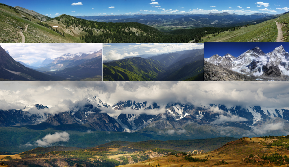 Mountain ranges are a geological feature consisting of high mountains with peaks above 3,000 meters (9,842 ft), and low mountains below 3,000 meters. Mountain ranges are usually found in mountainous terrain. They tend to be associated with either the continent or the ocean.
Geologically, mountain ranges are usually areas of uplifted and eroded rock, while within actual mountain ranges erosion is rare as they are often capped with a hardcover of vegetation, such as forests. Also, as mountain ranges age they tend to recede and create valleys that carve deep into the skin of the land. Mountain ranges may occur in clusters or chains, where the individual mountains are actually one large mountain range.
Mountain ranges in the modern sense may exist as sub-divisions of a broader mountain system. For example, the Himalayas consist of several distinct mountain ranges and these are generally considered to be part of a single range. There are a vast number of mountain ranges throughout the Earth. They range in size from barely noticeable hill ranges to the highest mountains. Getting the idea of mountain ranges may help you broaden your understanding of how the mountains are what they are. Here is the list of major mountain ranges in the world.
List of Major Mountain Ranges
|
Mountain Range |
Distance |
|
The Andes |
7,000 km |
|
The Rockies |
4,830 km |
|
The Great Dividing Range |
3,500 km |
|
The Transantarctic Mountains |
3,500 km |
|
The Ural Mountains |
2,500 km |
|
The Atlas Mountains |
2,500 km |
|
The Appalachian Mountains |
2,414 km |
|
The Himalayas |
2,400 km |
|
The Altai Mountains |
2,000 km |
|
The Western Ghats |
1,600 km |
|
The Alps |
1,200 km |
|
Drakensberg |
1,125 km |
|
The Aravalli Range |
800 km |
|
Karakoram Range |
500 Km |
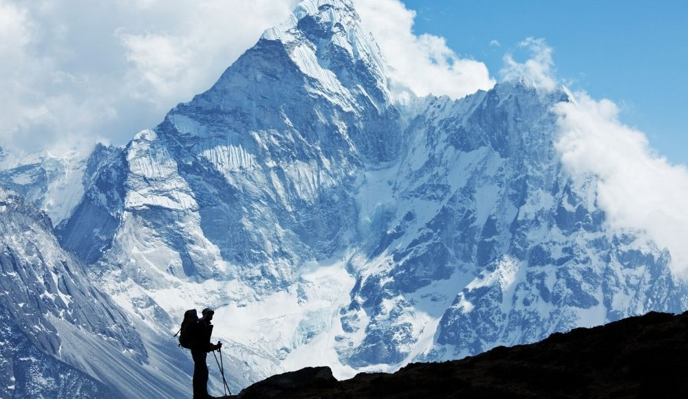
Mountaineering: An Act to Endure
Mountaineering is a branch of the outdoor recreation category called high-alpine climbing. It involves ascending mountains via steep rock surfaces and snow, ice, or mixed terrain. This kind of climbing requires skill, endurance, and experience in various conditions by mountaineers with specialized training. Mountaineering takes many forms, including rock climbing and ski mountaineering, although the terminology is often used to cover a wide range of ascents and adventures.
A mountaineer may follow an expedition to attempt an ascent of a peak that is unclimbed or has not been scaled previously. In this way, mountaineering can be exploratory, as well as highly competitive. Mountaineering is often used as a stepping stone to higher destinations, such as climbing extreme peaks including eight-thousanders. Mountaineering has been described as "the noble art of mountain adventure", or simply "the noble art". Some people consider mountaineering an art form, while others call it an extreme sport.
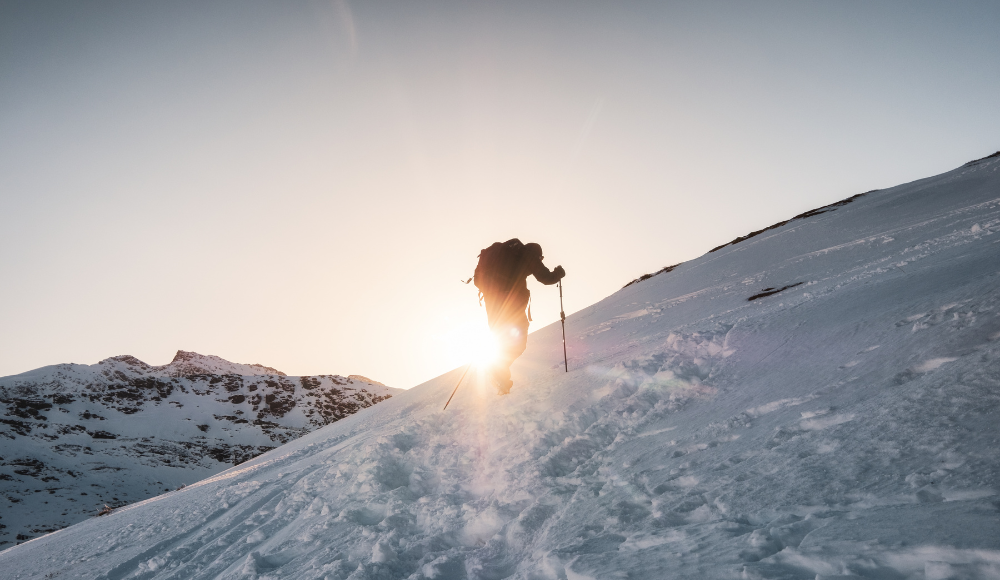
A mountaineer may also climb to vantage points that are not particularly challenging but provide impressive views. This is often referred to as "easy" or "short" mountaineering. Many people ascribe the term mountaineering to climbing alone, but the term implies a team effort with at least one mountain guide.
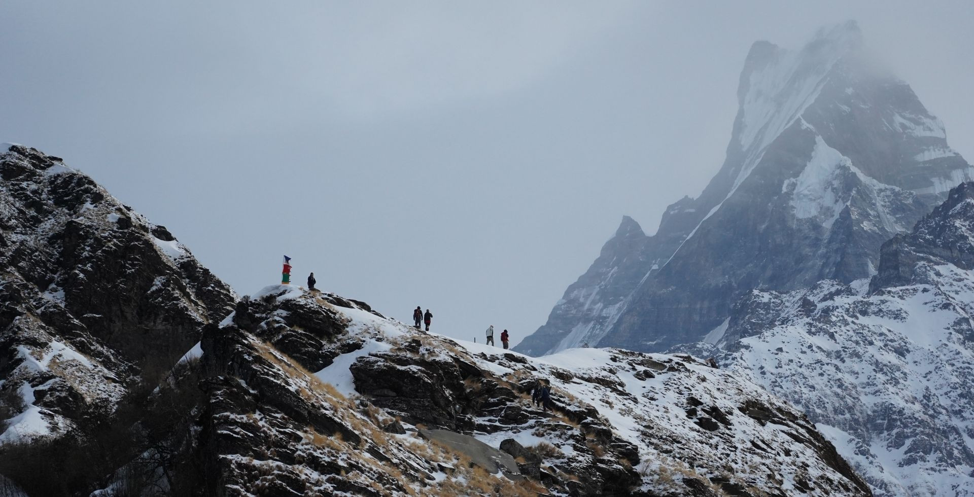
Climbing a mountain, sometimes, is linked with a spiritual quest. To pursue an adventure to the Himalayas or the highlands. The epic journey to brave the mountains has no limits. Humans, ever since the evolution of civilization have always demanded and fulfilled the higher form of their limits. The easy achievements become scarce and difficult terrains are what some mountaineers live for.
Mountaineering in Nepal
When you think of mountaineering in Nepal, it's usually images of climbers ascending one of the world's tallest peaks: Mount Everest. In fact, there are countless talented folks descending the mountain today. However, while Everest is without a doubt awesome and one of the most challenging pursuits to undertake on Earth, there is so much more to mountain climbing in this country that it's hard to imagine why someone would stay away for so long!
If you're looking to embark on a new, exciting adventure in the mountains of Nepal, here are some reasons you may want to consider the many mountains, peaks and valleys of Nepal.
-
It's a great technical challenge. Many of the best mountaineers in Nepal learned their skills on Everest, especially those who climbed it in the early 50s and later. After all, climbing Everest is incredibly difficult for a number of reasons. For one, there are so many deaths on the mountain. However, technical skills are also needed: proper gear and clothing choices must be made and learned; climbing practices that don't involve ladders or ropes at all must be learned (hiking/trekking/climbing without any gear at all); time must be spent getting acclimated to the altitude that can affect your mind and body enough to cause even simple tasks to become where you can love your basic abilities like walking, let alone climb 8,000 meters!
-
The climbing season is long. While Everest may get a lot of attention, there's actually more to Nepal than mountain climbing in the high country. After all, there are tons of mountains around Khumbu and Annapurna that can be climbed during the spring and fall months.
-
Accessibility is the key. Nepal has seen a dramatic rise in mountaineering over the past few decades. This is due, in part, to Nepal's accessibility; it's not some distant and inaccessible country to suit up for. In fact, most people can just take a flight to Kathmandu Airport and then pursue their adventure in the mountains of Nepal.
-
Every year, thousands of people visit the country, many on multiple-month treks through the Himalayas in search of the mountain lifestyle and authentic experiences with Nepali villagers.
-
The popularity of mountaineering among foreigners has been growing in Nepal over the past decades as well, thanks in part to a change in attitude from the surrounding nations. Now that mountaineering has become a little more mainstream outside of conventional circles, it has even begun to earn a huge amount of respect. But Nepal is also an incredibly affordable destination. It's an adventurer's playground - it's the place where all your dreams come true.
-
Sherpas as a companion is another major aspect of mountaineering. These highlanders are brave and accompany the mountaineer to the top and back. The Sherpa guides are admired for their high altitude skills and known for the brave adventure they have pursued over the years ever since the evolution of mountaineering in Nepal.
Royalties to Climb Mountains in Nepal
|
Government Royalties (For Foreigners) Except for Garbage Management |
|||
|
Mountain |
Spring Season |
Autumn Season |
Winter/Summer |
|
Everest Normal Route |
USD 11000 |
USD 5500 |
USD 2750 |
|
Everest Other Route |
USD 10000 |
USD 5000 |
USD 2500 |
|
Others Mountain more than 8000 m. |
USD 1800 |
USD 900 |
USD 450 |
|
7501m.-7999m. |
USD 600 |
USD 300 |
USD 150 |
|
7000m. – 7500m. |
USD 500 |
USD 250 |
USD 125 |
|
6501m - 6999m. |
USD 400 |
USD 200 |
USD 100 |
|
Mt. Amadablam (6812M) |
USD 400 |
USD 400 |
USD 200 |
|
Less than 6500 |
USD 250 |
USD 125 |
USD 70 |